Lake Lucy
Lake Lucy is the headwaters to Riley Creek. Water flows out of Lucy to Lake Ann and then to Riley Creek. On its way south to the Minnesota River, Riley Creek passes through Susan, Rice Marsh, and Riley lakes.
Lake size: 88 acres
Watershed size: 988 acres
Average depth: 6.5 feet
Maximum depth: 20 feet
DNR- Lake Ann/Lake Lucy depth map
DNR Shoreland classification: Recreational Development
MPCA classification: Shallow lake (<15 feet avg. depth)
MPCA Impaired Waters status: Impaired for mercury in fish tissue
Invasive species: Eurasian Watermilfoil, Curlyleaf Pondweed, Common Carp, Purple Loosestrife
Water Quality

Lake Lucy is classified as a “Shallow Lake” by the MPCA. To be considered healthy, the lake must have very low average phosphorus and chlorophyll-a levels and an average water clarity of 1.0 meters (3.3 feet) or greater.
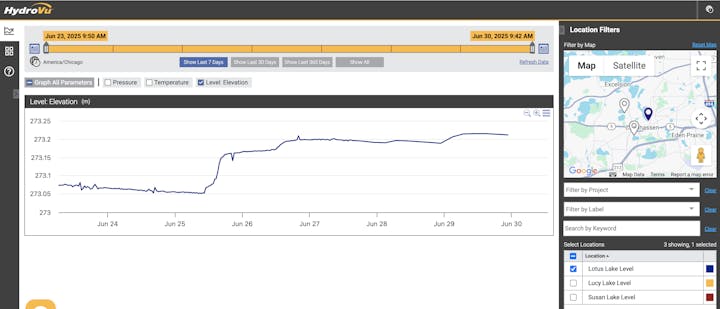
From June through September every year, District staff visit this and other lakes every two weeks to collect water samples and take readings. Samples are sent to a laboratory to be tested for nutrients and other compounds. Staff also measure water clarity by lowering a Secchi disk into the water and measuring how deep it goes before it is no longer visible. The data indicates the lake’s health based on standards set by the MPCA.
For water quality summaries for this and other lakes, visit the factsheets page.
Lake Grade
RPBCWD staff assigned this letter grade to the lake based upon how well it is meeting water quality goals. Learn more about lake water quality grades.
For more information about waterbody impairments, visit the Minnesota's Impaired Waters List webpage managed by the Minnesota Pollution Control Agency.